|
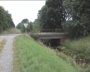
It took us some time before we found the
actual border crossing. Initially we were looking
deep inside Germany. Finally some friendly
cyclists showed us the way - actually my wife
asked them for directions, I was too ashamed to
admit I couldn't find such an obvious landmark. When we found it, it was not so obvious after all. All we could see was the abrupt change in road surface. There were a lot of markers around, but no real border markers. |
 |
 |
| Looking East - into Germany. | Looking West - into The Netherlands. |
 |
The two markers on the left looked promising,
but they belonged to the water-, gas- or
electricity companies. They were old and
battered, as if a lot of grass-mowers and
tractors had bumped into them. The white "mushroom" below is a signpost for cyclists. It's an ideal site marker. Every one has it's own unique number (23634) and they are indicated on all the maps. This is where you are now. |
 |
 |
 |
Looking for the border markers I stumbled
upon the "Holland Border Walk" by
Scorselo & Swart. The artists walked the
whole border of The Netherlands in 100 days. In
some places they left time capsules with letters
that will be opened in 2010. The steel cylinder
is such a capsule. Border walking seems to be a popular pastime with artists. I know of artists who walked the (former) East German border, or (more poignant) the Green Line between Israel and Lebanon. |
 |
 |
 |
 |
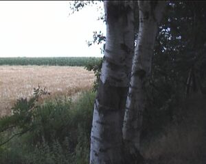
| I went North, looking for the border markers. The border is indicated by a ditch and a bank. | A view from inside the ditch. This linear landmark was constructed in ? |
 |
 |
| At first I thought this was another of the megalithic monuments that are famous in the area. But it was only a large plastic bag with farming garbage, | Looking West, from the bank towards the Netherlands. It looks like no one ever comes here. |